
Directions From I-295/Portland or Portsmouth, NH Areas Via Madison, Maine
Please print these directions to make sure you have them when you need them! If at any point you need assistance or your time of arrival changes please text/call (207) 485-1228.
If you’re coming through Portland, the best route to the ashram is to take I-95 North past Augusta, get off the highway in Waterville and head west to Madison from there.
Because the roads on this route are all paved, it takes the same or less time, versus taking other routes with dirt roads.
In winter or in bad weather this is absolutely the fastest and safest route.
Start by taking I-295 North to I-95 North. Go through the toll booth and past Augusta. Get off the highway at Exit 130 (ME-104 North/Main Street) in Waterville.
Turn LEFT at the end of the off-ramp. Take ME-104 North and ME-139 West through Norridgewock to Madison.
Set your GPS for 339 Main Street, Madison, Maine (Campbell’s Hardware). From here, it’s an easy 15 minutes (10 miles) to the ashram on paved roads.
The directions below take you on the shortest, fastest and safest route to the ashram from Madison. If your GPS wants to take you a different way, PLEASE IGNORE IT.
It may think it knows where the ashram is, but it doesn’t. This is a common problem in rural areas.
Head out from Madison by going STRAIGHT downhill on Main Street (ME-148 West) toward the Kennebec River. Cross the bridge into Anson, Maine and turn LEFT at the T intersection to stay on ME-148 West/ME-43 West.
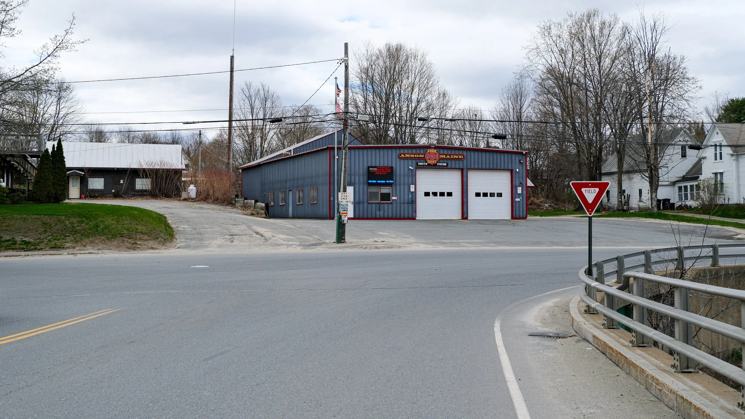
After 1.4 miles, with a big hay field on your right, turn RIGHT to stay on ME-148 West.
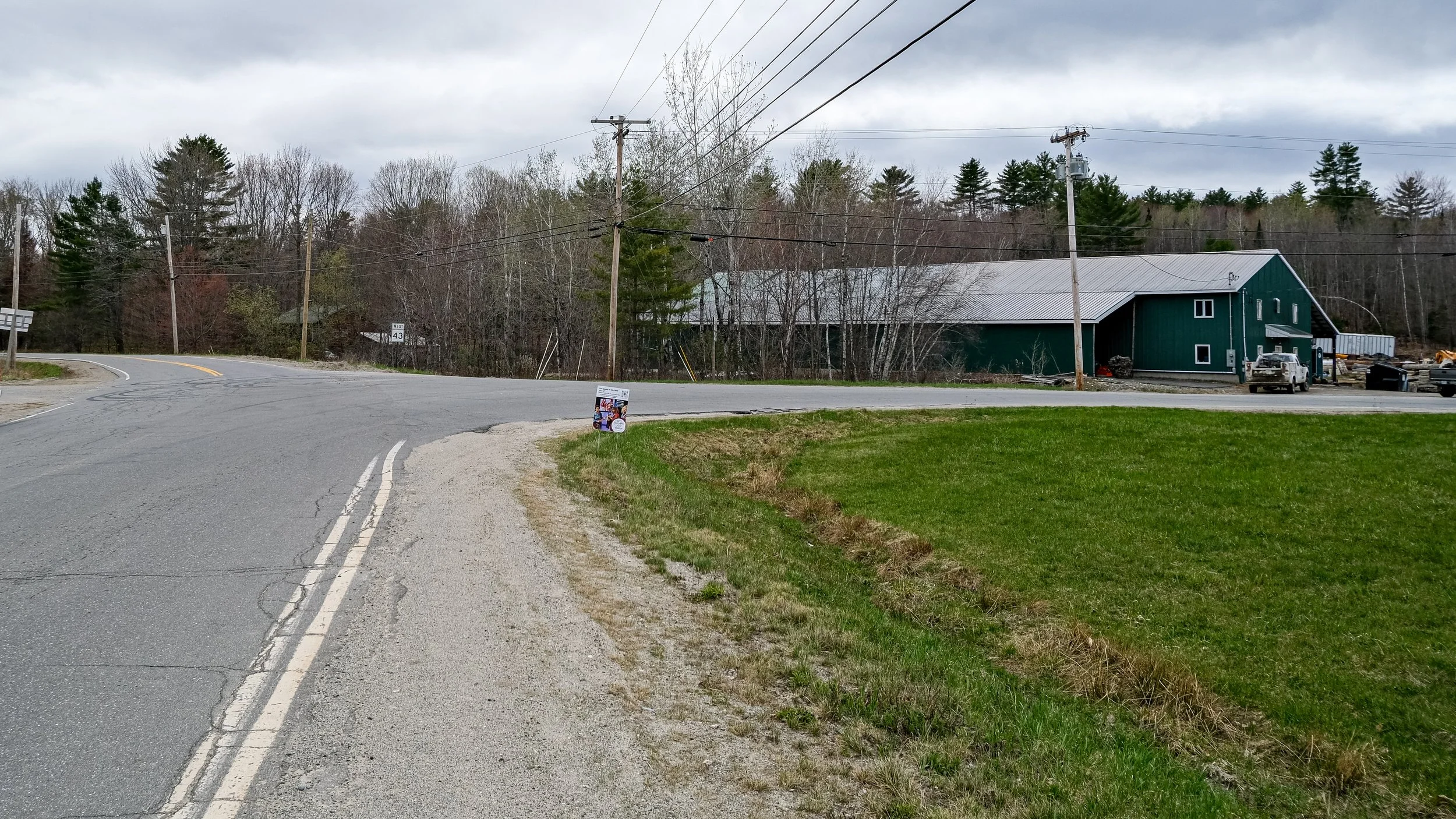
After 0.6 miles, bear gently RIGHT onto Pease Hill Road.
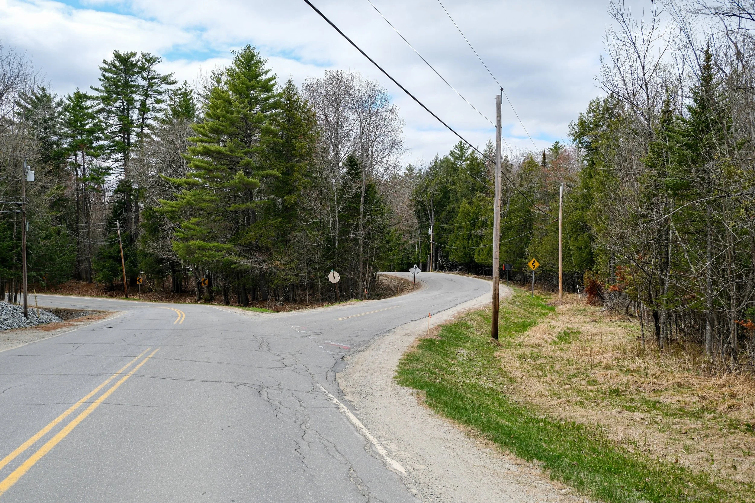
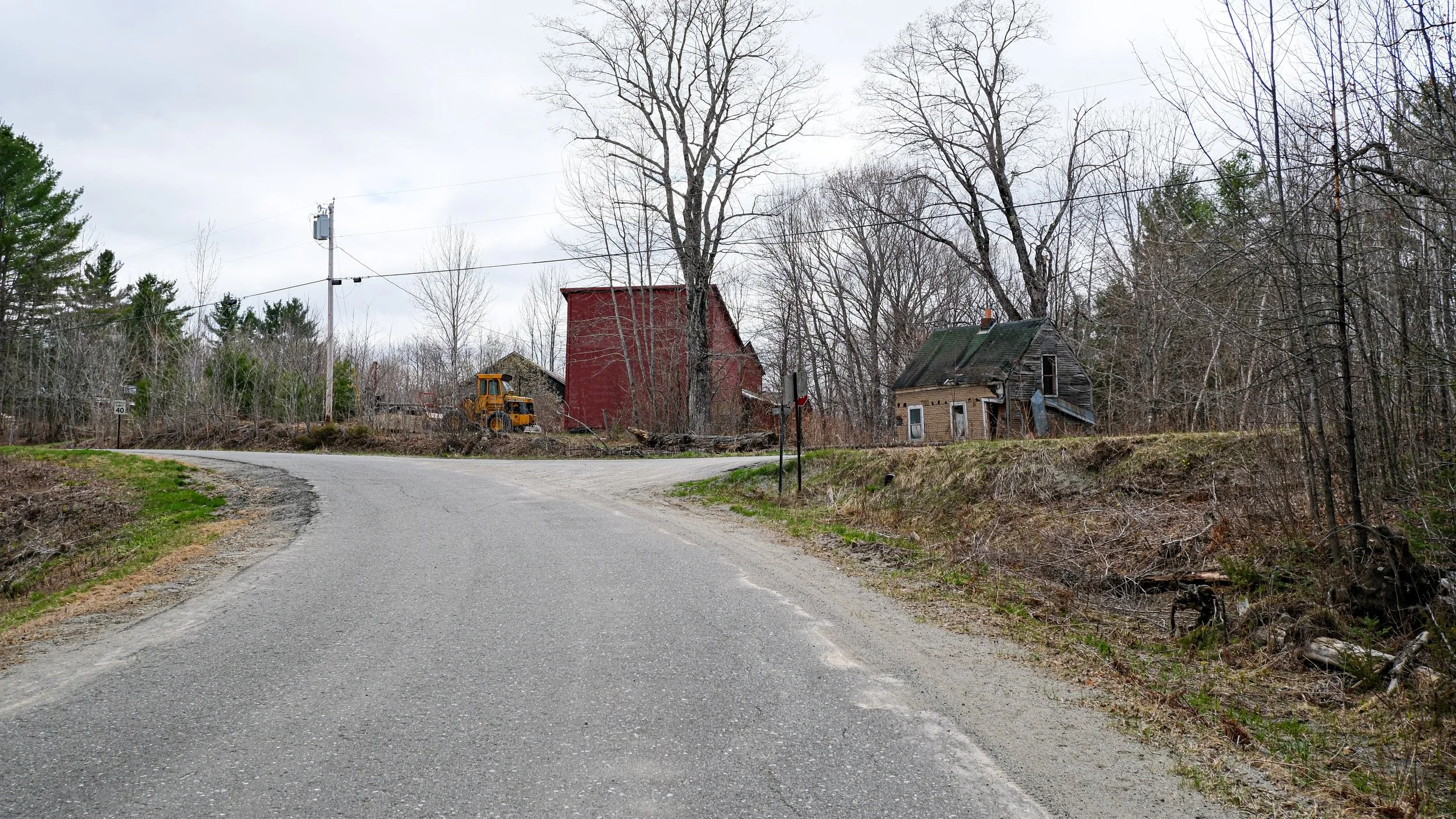
Continue on Pease Hill Road for 5.6 miles. Pass Fish Road and Sugar Maple Road on the right. Near the top of the rise, with a Yield sign, log yard and brown-shingled shack in front of you, turn sharply RIGHT onto Rand Road.
In about 1.2 miles, Rand Road ends at a Y. You’ll see a row of mailboxes on your right. Bear LEFT here onto Greenwood Brook Road (dirt road)—that’s our road!
Continue 1.4 miles on Greenwood Brook Road to a concrete bridge at the bottom of a steep hill. (Go slowly here in snow or mud.) You’ve arrived! The ashram access road is on your left, next to our sign. Parking for events is on your right.
Unless you have been otherwise instructed in an email, text or phone call please drive up the access road all the way to the end. You will see a big house. We will be there to greet you.